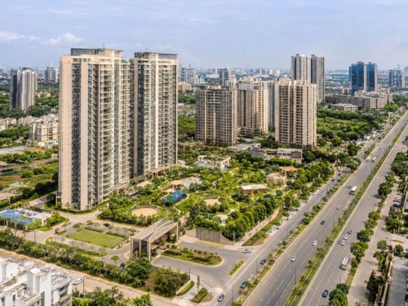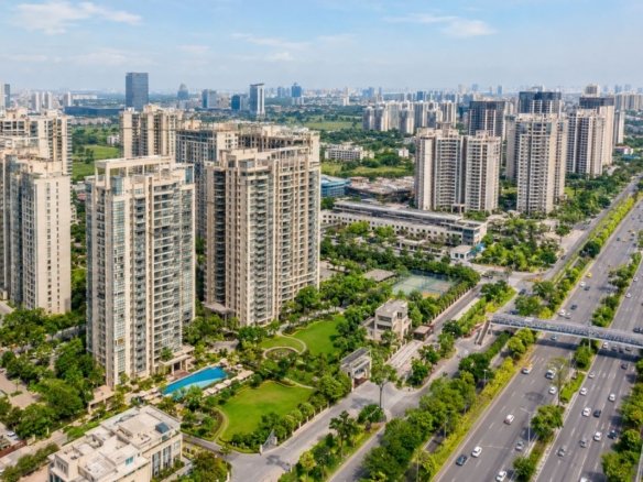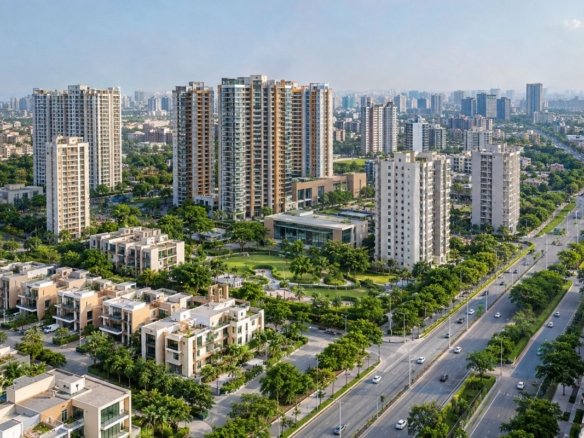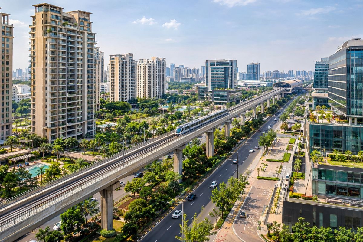
Transit-Oriented Development (TOD) is an urban planning approach that encourages residential, commercial and mixed-use development around public transport corridors. In Gurugram, this approach has become increasingly relevant as the city expands beyond its established residential and commercial centres. Dwarka Expressway, the proposed Gurugram Metro network and the evolving Namo Bharat RRTS alignment are important parts of this changing development pattern.
The transit oriented development tod policy haryana gurgaon framework can influence how land is developed, the amount of construction permitted and the type of activities allowed within designated areas. For property buyers, its significance goes beyond metro connectivity. It affects development density, infrastructure requirements and the long-term character of residential and commercial neighbourhoods.
However, proximity to a metro station does not automatically provide a property with higher Floor Area Ratio (FAR). The applicable zoning, notified TOD boundary, land-use classification and development approvals determine what can legally be constructed. A project advertised as being near a TOD corridor may not necessarily qualify for additional development rights.
For buyers considering apartments, independent floors or plotted developments, the policy should therefore be evaluated as part of the property’s legal and infrastructure assessment.
What makes TOD important for Gurugram?
Gurugram’s traditional development pattern has separated many residential neighbourhoods from major employment destinations. This has increased dependence on private vehicles and placed pressure on arterial roads. TOD aims to bring housing, workplaces, retail and supporting services closer to public transport, creating more connected urban neighbourhoods.
The potential benefits include better accessibility, more efficient land utilisation and opportunities for mixed-use development. At the same time, greater density increases demand for water, electricity, parking, sewerage and road infrastructure. Whether TOD improves livability ultimately depends on how well these services develop alongside construction.
Official Regulatory / Infrastructure Framework (GMDA / DTCP / HRERA / GMRL)
Haryana’s TOD framework is supported by land-use planning regulations, development permissions and transport infrastructure planning. The Department of Town and Country Planning (DTCP), GMDA, HRERA, HSVP and transport authorities have different responsibilities. Understanding these distinctions helps buyers avoid confusing a proposed infrastructure project with an approved development entitlement.
Haryana TOD Policy and FAR provisions
Haryana notified its TOD policy on 9 February 2016 under notification CCP(NCR)/TOD/2016/343. The framework identifies two principal development zones based on their distance from the relevant transport corridor’s Right of Way (ROW) boundary.

The intense TOD zone covers the first 500 metres, while the transition zone extends from 500 to 800 metres. The distinction is important because development intensity and permissible FAR can differ between these areas. The measurement should not be assumed to start from the entrance of a metro station.
Under the original 2016 framework, the indicative group housing parameters are:
| Planning Parameter | Intense TOD Zone | Transition TOD Zone |
|---|---|---|
| Distance Band | First 500 metres | 500–800 metres |
| Maximum Group Housing FAR | 3.5 | 2.5 |
| Maximum Ground Coverage | 40% | 40% |
| Indicative Residential Density | 600 persons per acre (±10%) | 430 persons per acre (±10%) |
These figures represent the original policy framework and should not be treated as automatic entitlements under every subsequent or current approval. The applicable consolidated policy, amendments, land-use category and sanctioned plans must determine the actual development potential of a parcel.
FAR measures the permitted floor area in relation to the plot area. For example, a one-acre plot contains approximately 4,047 square metres of land. At an FAR of 3.5, its theoretical FAR-counted floor area would be around 14,165 square metres, compared with approximately 10,118 square metres at an FAR of 2.5.
This difference can influence project feasibility, but it does not directly determine the number of apartments or the carpet area available to individual buyers. Ground coverage, setbacks, parking, height restrictions and other development controls also apply.
How DTCP, GMDA and HRERA affect property decisions
DTCP Haryana is responsible for planning permissions, land-use controls and development licences. Buyers should examine its approved zoning plans and sanctioned building permissions before relying on a developer’s claim of additional FAR.
GMDA’s role concerns metropolitan infrastructure, including roads, water supply, sewerage and drainage. Higher residential density can increase pressure on these systems, making infrastructure capacity an important consideration when evaluating a project.
HRERA Gurugram provides project registration and regulatory disclosures. Its records help buyers examine project details, approved information, construction progress and developer commitments. However, registration does not independently establish land ownership or guarantee future transport connectivity.
HSVP is relevant for properties within its development and administrative framework. GMRL handles Gurugram Metro development, while NCRTC is concerned with regional rapid transit infrastructure. DHBVN is important for electricity supply and distribution arrangements.
Metro and RRTS developments in 2026
The proposed Millennium City Centre–Cyber City Metro corridor is an important component of Gurugram’s transport expansion. Its published project configuration includes approximately 28.5 kilometres of corridor, 27 proposed stations and a 1.85-kilometre spur towards Dwarka Expressway.

The project is intended to improve connectivity between residential areas and employment destinations such as Udyog Vihar and Cyber City. Its long-term influence on surrounding property markets will depend on implementation, station accessibility and last-mile connections.
Another important development is the September 2026 revision to the Haryana TOD policy’s Namo Bharat RRTS alignment, replacing the earlier Sarai Kale Khan–Gurugram–Rewari–SNB reference with the Sarai Kale Khan–Gurugram–Bawal alignment.
The proposed Sector 56–Panchgaon Metro corridor is also relevant to southern and New Gurgaon. Its announced configuration is approximately 35.25 kilometres with 28 stations. Its development status must be distinguished from that of an operational metro service. Proposed alignments and planning announcements do not establish guaranteed completion dates or automatic TOD eligibility for nearby properties.
Why infrastructure capacity matters
Higher FAR can support greater construction potential, but it also increases the number of residents and commercial occupants that infrastructure must serve. Water supply, sewerage treatment, electricity distribution, parking, emergency access and stormwater drainage all become more important as density increases.
For buyers, a project with attractive connectivity but inadequate civic infrastructure may create practical problems after possession. The quality of the surrounding urban environment is therefore as important as the development potential permitted on paper.
Sector-Wise & Corridor-Wise Impact Across Gurugram
TOD’s potential influence differs across Gurugram because the city has a combination of established employment centres, developing residential sectors and proposed transport corridors. The sectors discussed below are important areas for infrastructure assessment; their inclusion does not mean that every property within them falls inside a notified TOD zone.
Dwarka Expressway: Sectors 102–113

Dwarka Expressway is a major residential growth corridor connecting Gurugram with Delhi. Its development includes residential townships, commercial destinations and supporting urban infrastructure. The proposed metro spur towards Dwarka Expressway adds another dimension to its long-term connectivity potential.
Sectors 102–113 deserve individual assessment rather than being treated as one uniform investment market. A property in one sector may have different zoning, road access and infrastructure conditions from a neighbouring development. Buyers should examine the precise TOD boundary, approved land use and project permissions before assigning value to additional FAR or mixed-use potential.
Golf Course Extension Road and Southern Gurugram
Sectors 55–66 have an established residential and commercial environment, with existing Rapid Metro connectivity in parts of the wider corridor. The proposed Sector 56–Panchgaon Metro network could further influence accessibility across sectors including 49, 50, 56, 61, 65 and 66.
For homebuyers, existing connectivity should be assessed separately from proposed infrastructure. Commercial investors should pay particular attention to the surrounding residential catchment, employment access and the permitted use of individual properties. Improved transport access may support demand, but rental performance still depends on tenant requirements and local competition.
New Gurgaon: Sectors 84–90
New Gurgaon is relevant to the proposed transport connection extending towards Global City, IMT Manesar and Panchgaon. Sectors 84, 86 and 90 are among the locations worth monitoring when assessing the proposed network’s potential influence.
The longer-term opportunity lies in better integration between residential communities and employment destinations. However, buyers should not base an apartment or plotted-land purchase entirely on a proposed station. Existing road access, utilities, construction approvals and present-day residential demand remain important.
IMT Manesar, Panchgaon, Udyog Vihar and Cyber City
The Manesar–Panchgaon belt has a distinct industrial and employment-led development profile. Manufacturing, logistics and industrial activity can support housing demand, but residential investment also depends on environmental conditions, civic facilities and commuting convenience.
Udyog Vihar and Cyber City represent established employment destinations. Improved metro connectivity could strengthen their accessibility and support surrounding commercial activity. Nevertheless, office occupancy, tenant demand, parking and building quality will continue to influence commercial property performance.
High-density versus low-density TOD sectors
The intense and transition zones represent different levels of planned development intensity. Higher density can create opportunities for more residential and commercial activity close to transit, but it can also increase traffic, parking requirements and pressure on public utilities. A comparatively lower-density transition zone may offer a different balance between development potential and surrounding built form.

Neither zone is automatically a better investment. The decision should depend on actual development permissions, infrastructure readiness, location quality and purchase valuation.
Step-by-Step Verification Checklist for Homebuyers & Investors
A TOD-related property purchase requires verification of land ownership, zoning, development permissions and infrastructure. Buyers should not depend exclusively on a developer’s brochure or a broker’s interpretation of a corridor map.
Official Government Portals & Documents to Inspect
Start with the approved zoning plan and development permissions maintained by DTCP Haryana. Establish whether the property falls within the notified TOD boundary, identify its land-use classification and confirm whether the claimed FAR is permitted.
For land ownership, examine the latest Jamabandi, mutation records, registered sale deed and ownership chain. These records should be reconciled with the licensed layout and actual plot identification, particularly for plotted developments.

Next, examine the development licence, sanctioned building plan, revised approvals and FAR calculation. If additional TOD-based FAR is being advertised, request the specific approval and supporting statutory payment records.
HRERA disclosures should be checked against the actual project and phase. Compare the registered project details, approved plans, apartment configuration, construction status and possession commitments with the documents supplied by the seller.
Finally, examine infrastructure arrangements through the relevant authorities. GMDA records are relevant to water, sewerage, drainage and roads, while DHBVN records help establish electricity supply arrangements. Metro and RRTS alignment information should be distinguished from construction progress and operational connectivity.
For completed developments, verify the applicable Occupation Certificate (OC) before accepting claims of authorised occupation.
Common Red Flags & Financial/Legal Risks to Avoid
The most common mistake is assuming that proximity to a metro corridor automatically provides additional FAR or mixed-use rights. A property may be close to public transport yet remain outside the applicable TOD boundary or be subject to different development controls.
Unapproved construction claims, unclear land titles, unpaid statutory charges and discrepancies between sanctioned plans and actual construction can create serious financial and legal exposure. Buyers should also be cautious when proposed metro stations are presented as operational facilities or when future rental returns are justified entirely through infrastructure announcements.
Before registration, request the sale deed and ownership chain, Jamabandi and mutation records, DTCP licence, approved zoning and layout plans, TOD demarcation where applicable, sanctioned building plans, FAR approvals, HRERA disclosures, utility records and OC where possession is claimed. For high-value land purchases, an independent legal review should be completed before making a substantial payment.
2026–2031 Market & Livability Outlook
Between 2026 and 2031, Gurugram’s TOD-related development potential will depend on how effectively transport infrastructure, land-use planning and civic services progress together. Dwarka Expressway, New Gurgaon, Golf Course Extension Road and the Manesar–Panchgaon belt are important areas to monitor, but their development trajectories will not be identical.
Better public transport can make residential and commercial locations more accessible, particularly where employment destinations and residential catchments are well connected. Mixed-use development may also reduce dependence on distant retail and service centres where the relevant permissions allow it.
The larger challenge will be managing the pressure created by additional density. Water supply, sewerage, drainage, road capacity, electricity and parking will directly influence the everyday experience of residents. These factors should be considered alongside FAR and transport connectivity rather than treated as secondary details.
For investors, the strongest proposition is not necessarily the property with the highest advertised development potential. It is the property with clear legal permissions, credible connectivity and adequate infrastructure. TOD should be treated as a long-term planning consideration, not a guarantee of short-term price appreciation.
Frequently Asked Questions
1. How does Haryana’s TOD policy impact property buyers and investors in Gurugram in 2026?
The policy can influence permissible FAR, development density and mixed-use planning around designated transit corridors. Buyers should verify the property’s actual TOD eligibility and sanctioned development rights. Higher FAR may improve development feasibility, but it does not guarantee property appreciation or rental returns.
2. Which official Haryana portal should buyers use to verify TOD property records?
DTCP Haryana is the starting point for zoning, land use and FAR permissions. HRERA helps verify project registration and disclosures, while Jamabandi records support ownership and mutation checks. HSVP is relevant for HSVP-controlled land. GMDA, GMRL and NCRTC are important for infrastructure and transport verification.
3. Which Gurugram sectors and corridors are relevant to TOD and transport expansion?
Dwarka Expressway sectors 102–113, Golf Course Extension Road sectors 55–66, southern sectors 49–50, New Gurgaon sectors 84–90, IMT Manesar and Panchgaon are important areas to investigate. Udyog Vihar and Cyber City are also relevant employment destinations. These locations should not automatically be treated as notified TOD zones.
4. What risks arise if buyers ignore TOD verification?
Buyers may overpay for unapproved FAR, purchase land with restricted development rights or assume that commercial activity is permitted where it is not. Incomplete infrastructure, unpaid statutory charges and delays in proposed transport projects can also affect the property’s usability and investment value.
5. What documents should be requested before property registration?
Request the ownership chain, sale deed, latest Jamabandi, mutation records, DTCP development licence, approved zoning plan, sanctioned building plan, FAR calculation, additional FAR approvals where applicable, HRERA disclosures and utility records. For completed projects, obtain and verify the applicable OC.